Published
How Bali's highest mountain shapes the light, the weather and the horizon along the pebbled coast at Tianyar.
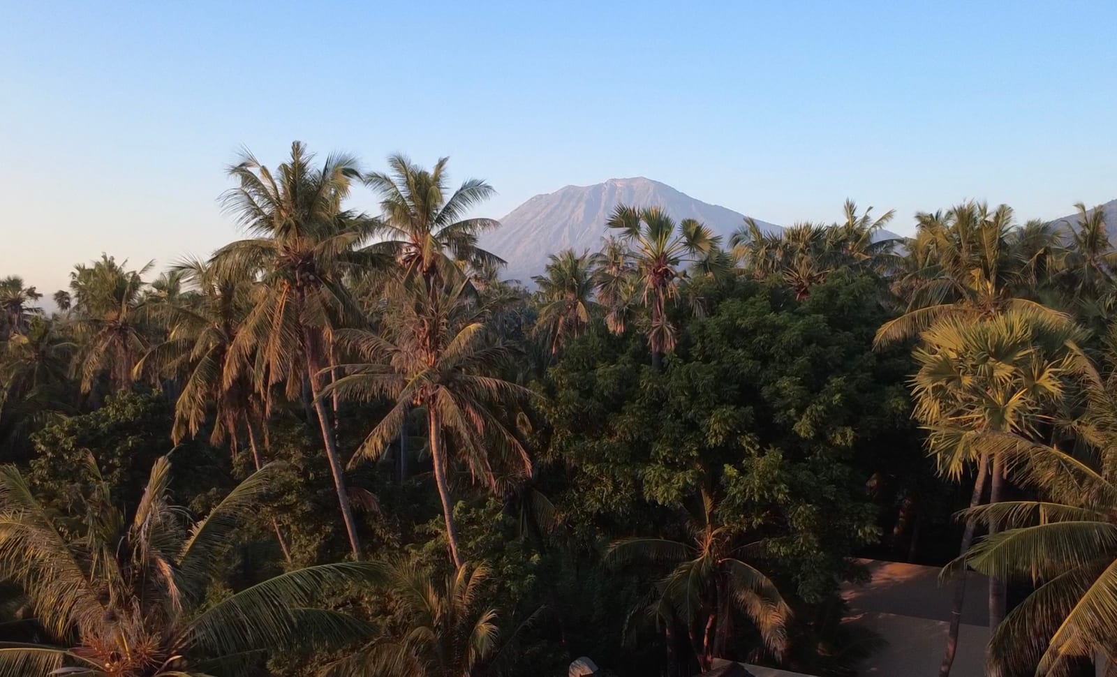
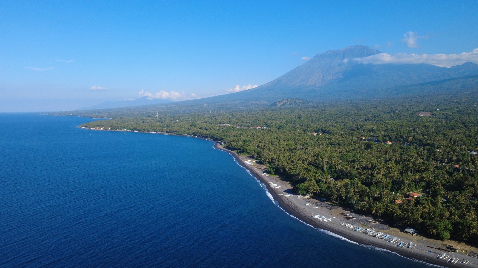
From the pebbled shore at Tianyar, the coast runs one way and Mount Agung rises the other. It stands to the south-west, Bali's highest mountain and the one the island holds sacred. On a clear morning it is the first thing the light finds, and it sets the shape of the whole horizon.
A fixed point on the coast
Much of the north-east coast is flat and open. The land meets the sea in a long line of dark pebbles, with little to break it. Mount Agung is the exception. Its slope climbs steadily behind the villages and rice fields, and wherever you stand it gives the view a centre. Boats pull in beneath it, and the palms run out towards the water in front of it.
The weather it carries
A mountain this size makes its own weather. Cloud gathers around the summit through the middle of the day, then lifts again towards evening. The clearest views come early, before the heat builds, when the peak stands sharp against the sky. By afternoon it often sits behind a soft band of cloud, which is part of its rhythm rather than a fault.
A working landscape
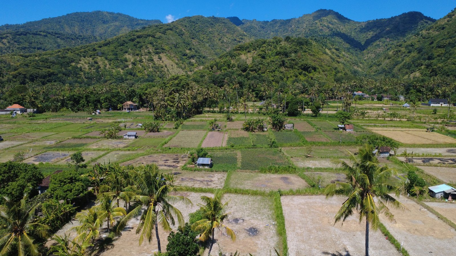
Agung is not a backdrop. Its old eruptions laid down the dark volcanic ground that runs along this coast, pebbles here, dark sand further along towards Amed, and the same soil feeds the fields on its lower slopes. The salt makers, the fishermen and the farmers here all live within sight of it. To watch the mountain from the shore is to see the source of the ground you are standing on.
When to look
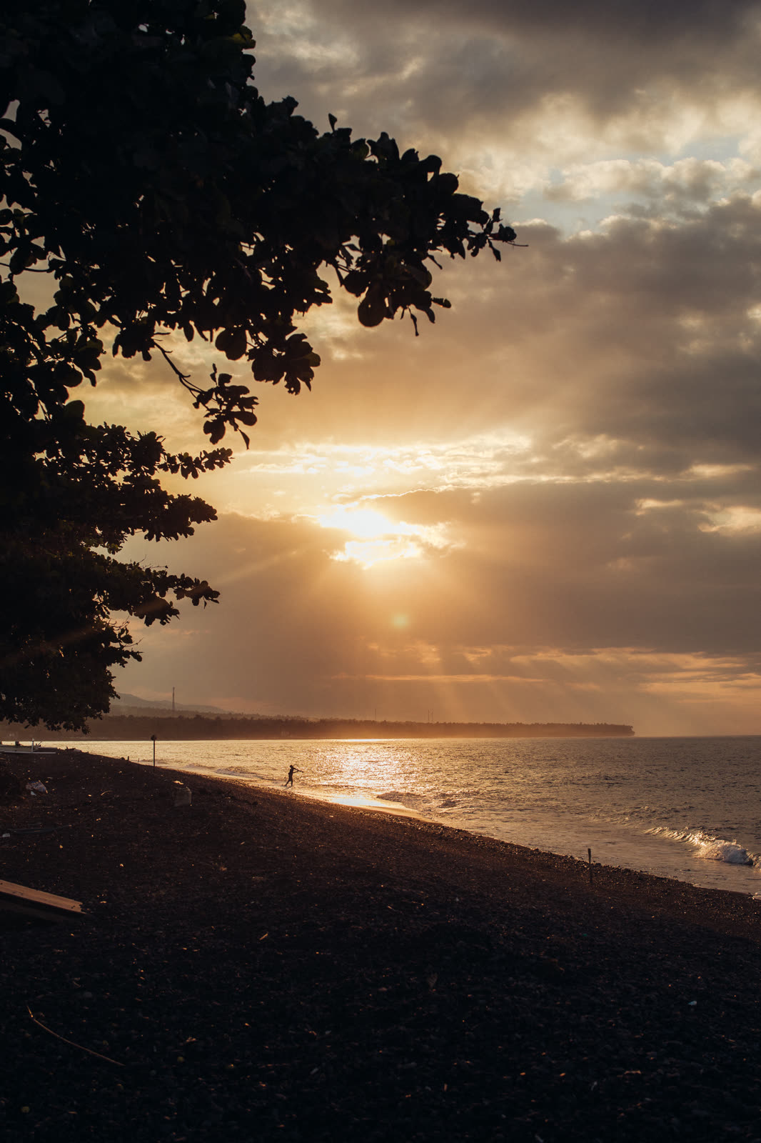
The dry season, from about May to September, gives the steadiest and clearest views. Early morning is best, with the light low and the summit still free of cloud. Sunrise behind the peak and the last colour of the day over the water are both worth slowing down for.
VELA Tianyar is a small oceanfront tented camp on this stretch of coast, with the sea on one side and Mount Agung on the other.